Chopta Trek was a surprisingly cool April night in Devprayag, an unremarkable concrete hill-town perched above the turbulent confluence of the Bhagirathi and Alaknanda rivers. The sky was clear, a million stars seemed tacked onto the inky blackness, and a sliver of moonlight reflected off the pillars of the Chaukhamba peak in the distance. It had been a very long drive up from Delhi, but we were now firmly in the mountains.
This part of Garhwal is known for its religious spots — the Panch Kedars and the Char Dhams — and most treks are better known as pilgrimages. But if you’re an atheist like me, and fancy yourself a birdwatcher and hiker, you could very easily chalk out some beautiful treks through old-growth forests. Our plan was to start trekking the next morning from Sari village, a two-hour drive from Devprayag, and head towards the Mandal valley over the course of five days.
Chopta to Chandrashila and back (13,564 ft, 6hrs)

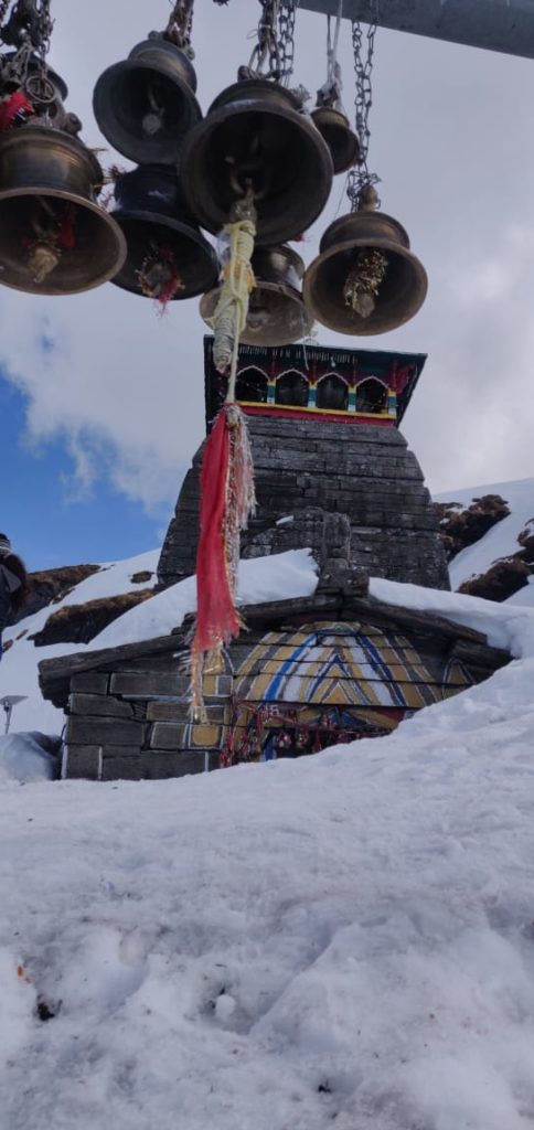
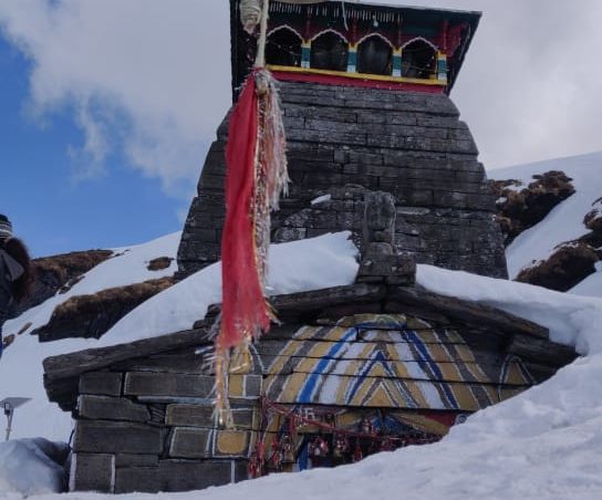
By the morning the sky had cleared up, allowing us to attempt the 3,500ft climb to Tungnath, the highest of the Panch Kedars. A stone pathway framed by flowering rhododendrons leads all the way from Chopta to Tungnath. It’s a gradual climb — as you get higher the views get more and more spectacular; and the rhododendron varieties change, reducing in size till at 12,000ft they’re just bushes one foot high.
The going was slow — and we stopped every 10 minutes to take in mouthfuls of air. The fir trees ended at about 10,500ft, after which patches of snow began appearing on the brown rocky ground. Monal pheasants wandered on the margins of the snow searching for insects in the grass, while a Himalayan pika, a marmot-like creature that looks like a cross between a mouse and a hare, chased a partner across a rock wall.
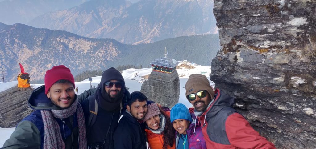
Two hours later we were at Tungnath. We decided to press on towards Chandrashila without stopping. There was too much snow on the pagdandi from Tungnath to Chandrashila so we decided to try another route. We found a few grassy patches but there was no avoiding the snow. Slipping, sliding, and falling, we reached a small peak a little below Chandrashila. Beyond this, the path disappeared under the snow. As we stopped panting, the absolute silence that you find at this altitude blanketed us. Even the wind seemed to blow quietly. The lone cry of a crow ricocheted feebly off the mountain.
Around us lay strewn a panorama of peaks — Nanda Devi, Trishul, Dunagiri and Hathi stacked side by side in front, obscured partly by clouds, while behind us lay Chaukhamba, Kedar peak and the Gangotri peaks — our constant companions through the trek. The Chandrashila peak rose straight above us, the little hut on top of the peak appearing like a fleck in the clouds.
It had started raining by the time we got back to the campsite. We joined a couple of people who’d taken shelter in a small shop by the roadside. At four o’clock a hailstorm turned the mountainside white. By 4:30 the hail had melted. And at five hot pakoras and tea was sent up to us from the camp. It was warm by the fire, and the rain fell gently on the leaky thatch roof — in my tired state the small drops felt like little clear thoughts falling through the mind to disappear in the mud floor.
Deoria Tal trek
Next-Day to Chopta Trek, we headed to Sari, the base camp of the Deoriatal-Chandrashila trek, which is an 8-hour drive from Haridwar. The journey is picturesque, as you pass through Devaprayag, the confluence of rivers Alakananda and Bhagirathi to form river Ganga. The entire journey traverses the mountainside, with the river flowing below you.

The information
Route
Delhi-Rudraprayag-Sari village-Deoriatal-Barniyakund (Chopta)-Chandrashila (and back)-Mandal-Rishikesh-Delhi.
The trek
The trek from Sari village to Deoriatal is short and easy. Deoriatal to Barniyakund (the campsite beyond Chopta) is a long walk, and can be strenuous if you’re not fit. The climb to Tungnath from Chopta is relatively easy — and shouldn’t take more than 3hrs. It’s a steep climb from here to Chandrashila, but worth it for the views from the top. It’s best to do part of the Barniyakund to Mandal walk along the road, especially if you want to do some birding — descents along the bridle paths can be a little too steep. The walk from Mandal to Ansuya village is only steep in short sections.
What to carry
While trekking you’ll only be carrying a daypack, so toss all your stuff into a large duffel bag for the porters to carry. Remember to carry your own torch, waterproof gear, towel and warm clothes. Everything else, including sleeping bags, is provided.
When to go
The best time to do this trek is from April to end-June and in September-October. It can get too cold during the winter, and too wet during the monsoons.
Operator
Many operators organise treks on this route, but we used Countryside Outdoor Programmes (022-24441513, 24442944; www.countrysideindia.com). They offer 7N/8D fixed departures (ex-Delhi; by train from Delhi to Haridwar) for Rs 17,450 per person (check their website for departure dates and a detailed itinerary). They can also organise the trek especially for you (the cost will go up), provided you inform them at least 15 days in advance.
Birding
Yashpal Singh Negi, who runs the Mandakini Magpie Birdwatchers Camp (Rs 500; 01364-268344, 9412909399) in Kakragad village near Rudraprayag, is a mine of information on the birds of the area. Countryside can arrange for him to accompany you on the trek for an additional Rs 750 per day.


